

Marike and Elisabeth picnic on Fury Cove beach
13-17 July 2012
Little Frypan, Penrose Island/ Codville Lagoon, King Island
When you arrive on a new coast and listen to the weather forecast, the first challenge is to figure out where the weather reporting stations in your general region are. Then you must sort out which stations you need to listen to and track for your proposed voyage. And of course, you need to learn to read the signs of approaching weather.
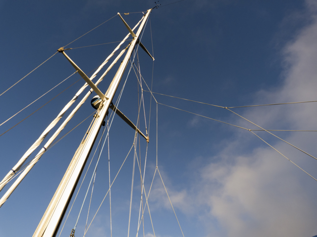
Look to the heavens: what do you see?
The quickly shifting weather patterns in Nova Scotia have generated all sorts of humorous adages: “If you don’t like the weather, wait 15 minutes and it will change.” Or, for those who want to live like cats, “If you don’t like the weather outside your front door try your back door.” Despite the obvious instabilities of coastal weather on the Eastern Shore of Nova Scotia, we have become quite good at determining what the weather will be. If you hear a rumble over the east beach, you can expect a Nor’easter–bad weather for sure. If the rumble is over the west beach, you can expect a Sou’wester. This may or may not bring precipitation or stormy conditions. If the barometer sinks quickly, then you are in for a howling Nor’easter. It the sky clouds up with fast-moving dark clouds, you’re certainly in for some snotty weather.

Purple crab in a tidepool–does it know the weather?
But as we sailed the coast of BC, our weather reading instincts failed us. We had to take into account, not only the force of systems moving in from the open Pacific to the west, but, as well, the fast-moving tidal currents in many passes, and the effects of winds racing downhill out of mountain passes and through the many narrow inlets that run deep into the interior of the mainland. Just listening to the weather radio wasn’t as simple as it tends to be on the east coast either. Tuning into just one radio station will not do across a large distance in BC; we found you have to change weather stations often because the mountains interfere with reception—and dramatically affect weather patterns. Why the rather abrupt shift in weather patterns north and south of Nanaimo? We wondered, starting out, why these were even separate forecast areas. But if you look at the topography of Vancouver Island, you’ll see that between the way the land curves, and the narrowing of the Georgia Strait, you might expect to see some shift in weather patterns around Nanaimo. Further north, we knew to expect afternoon blows from the west in Johnstone Strait, and not to try to go against the chop that ensued; or when planning to head to the Central Coast, we needed to listen to the wave and wind readings at Egg Island for a sense of the prevailing weather. Too often, what we thought we read in the clouds in BC was not what the weather delivered.

Strange clouds over Penrose Island–What do they say?
As we basked in the sun in our newly found tropical paradise of Fury Cove, far north of Nanaimo, Johnstone Strait and even Egg Island, weather reports were ominous, calling for 45 knot winds out of the north for the Central Coast, Queen Charlotte Sound, and the infamous Hecate Straits. Attentive weather radio listeners, we decided we had better find a less exposed anchorage.
Sailing to Little Frypan
So we weighed anchor in mild winds and glorious sun, and sailed slowly, just a gentle breeze pushing the sail, around Penrose Island into the “Little Frypan,” a fully surrounded, sheltered hurricane hole where half a dozen other boats were also anchored. It was a place that seemed “bomb-proof,” to use a term favoured by many of the male sailors we’d met in BC; steep cliffs towered over us, and the spot, when we arrived was windless.

Little Frypan on the right, Fury Cove on the lower left
There we sat in the sunny, clear heat for a few days, watching horsetail clouds whip over the tops of the cliff edges and listening to the same scary weather report: 40 and 45 knots for the Central Coast, Queen Charlotte Sound, Hecate Strait. We saw barely a piffle of wind, and the clouds dissipated. We began to feel foolish and restless holed up there: maybe there wouldn’t be strong winds or seas in Fitzhugh Sound, but how could we know? The weather report continued to say there would be. Was staying put a reasonable precaution or not? How could we know? We pored over guidebooks and charts, looking for clues.

Quoddy’s Run with other shelter seekers, Little Frypan
We dinghied around the islands, wrote, did a number of repairs, and visited with other boaters who were also sweltering and scratching their heads in the Frying Pan.
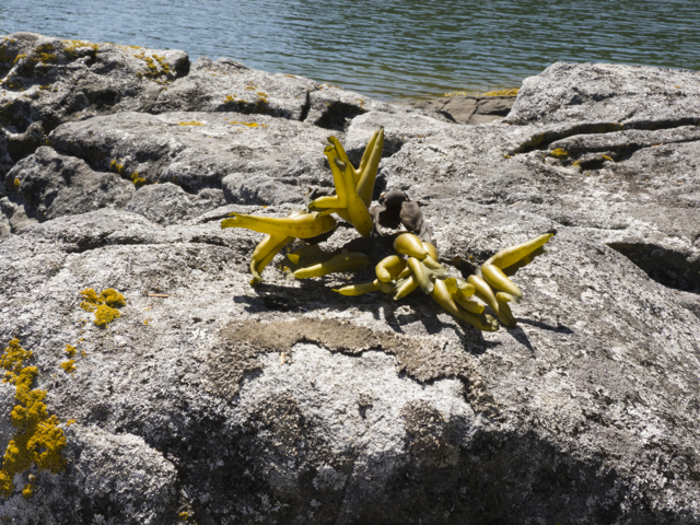
Bladderwrack on a rock
We had a steady leak from our raw water pump—the bilge pumps were running every 20 minutes or so—and we wanted to get to Shearwater/Bella Bella before we pulled the raw water pump out to look at it, in case we needed special equipment, a replacement, and a proper mechanic, but this ongoing, extraordinary and anomalous weather forecast—and our own inexperience with Central Coast weather—kept us at anchor.
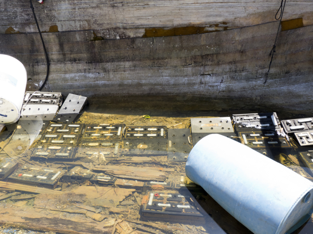
We find an old wreck filled with drowned batteries

And stupendous views
Finally, however, claustrophobia and our annoyance at the salmon fishing madness infecting nearby powerboats (go get get get all the fish you can!) got to us, and we decided to chance it.
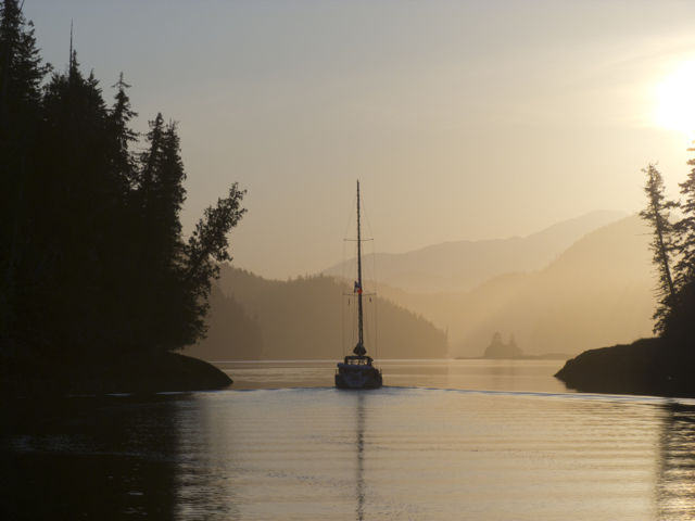
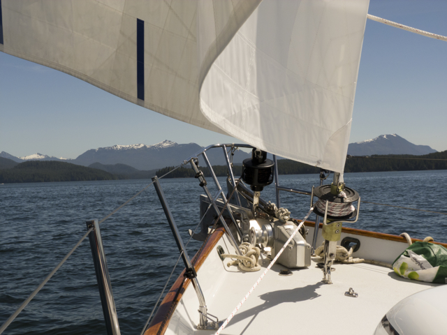
We depart at dawn
At 6 am we nudged out into the wider world, with two other boats, Kalagan and Top Brass, shepherding us in case our raw water pump failed and we found ourselves in need of a tow. All was calm.
Kalagan keeps us in sight
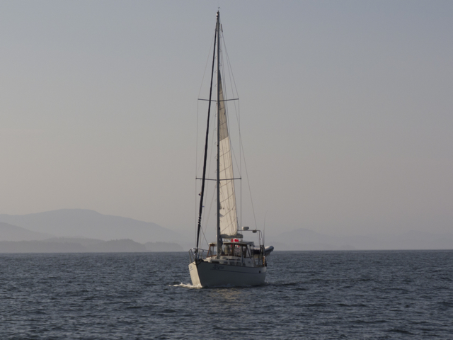
We put up a triple reefed mainsail and edged back into Fitzhugh Sound. No wind to speak of. We passed the weather reporting station, Addenbrooke Island, beneath clear skies, on rippled seas. And there, to the right, humpbacks, blowing, rolling, sounding—hurrah.

Nary a ripple
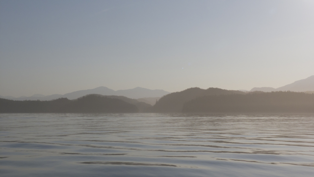
Okay, a few ripples
Finally, as we passed the Kwakshwa Channel and the Hakai and Nalau Passages, which open towards the Pacific, we caught a little breeze coming out of the west; we raced, all too briefly, across the chop.

Top Brass sails ahead
Then just as quickly, the ride was over, and we drifted north, dead downwind in a light southerly. This mystified us at first. If we listened to the weather report, it was supposed to be blowing like crazy out of the north. But a high hovered over Fitzhugh Sound, and with the tide running in around Calvert Island from the south, so, too, ran the wind. Our “stormy weather” was further offshore. Not here. Our first lesson about the vagaries of the weather on the Central Coast.

Quoddy’s Run runs dead downwind
Finally we exited the top of Fitzhugh Sound and entered the narrower confines of Fisher Channel. We dropped our sails and motored into Codville Lagoon where, again, it was hot and still. There, we greeted fellow cruisers, including the three couples we had met at Fury Cove, who had, wisely, not remained holed up. They were fishing for shrimp. As soon as we anchored, we hopped overboard for a swim in the 23C (77 F) water. Ahhh. Then we dinghied ashore and hiked up a trail to a marvelously large, warm freshwater lake–Sagar Lake–fringed by alders and cedars, and tucked into the mountains. We crossed an amber coloured sandy beach, walked along reddish coarse sand full of deer prints and then into clear silky water. The water was red or yellow in the shallows, deepening to green and blue; cascading ripples of yellow light rushed across the sand when we stepped into the water. We had brought shampoo and soap and so we lathered and rinsed up, our first baths in more than a month. But then vicious horse flies drove us quickly back through the woods; we waved and swatted alder branches to keep them at bay.
Weather patterns may differ from coast to coast to coast in Canada, but biting horse flies can be relied upon in the summer, no matter where you are.
We finished the evening by grilling chicken fajitas and drinking sun-downers in the glorious still warm air. If we had gone on simply listening to the weather forecast, we might still be holed up in the Little Frypan. No question about it; we still have much more to learn about how to judge weather patterns along the BC coast.
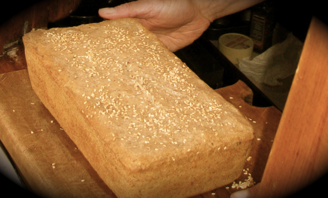
Freshly baked sourdough bread–the gift that keeps giving
